As a land developer, you need to be quite aware of all the characteristics of the land you’re considering, so as to be able to plan everything accordingly. If you don’t make the correct plans, chances are that your project will be a flop, or you’ll get stuck halfway, either due to not following certain regulations, or due to encountering serious land issues that you haven’t been aware of before. That’s not what you want, is it? If you don’t know what constitutes land development exactly, this should help.
When planning a development project, you’ll want to do your best, because not doing it right can get you in trouble afterward. Topographical surveys have to be a part of those plans. And, if you don’t know what those are, why you need them, or how to carry them out, it’s time to learn. You’ll find your answers below.
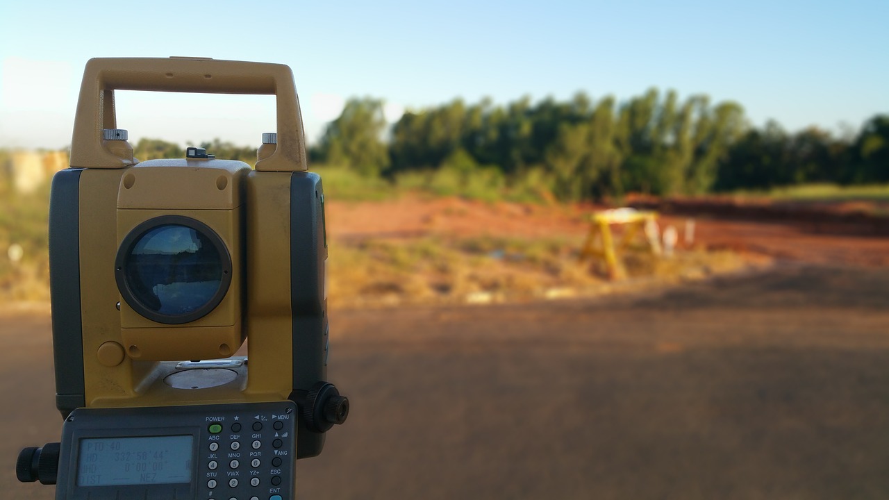
What Is A Topographical Survey?
We’re going to start with the most basic question here. What exactly is a topographical survey? If you know what topography is, and I’m sure you do, then it will be easy to understand what these surveys are as well. Topography studies the shape and the features of the land, and a topographic map needs to encompass both those natural and man-made features so as to be complete.
So, a topographical survey serves to gather data on all the natural and man-made features of the specific land, as well as of the terrain itself. Land contours, spot levels, as well as permanent features such as fences, buildings, streams, trees, and similar, are all included in this survey. The maps are then used by architects, land developers, building contractors, engineers, and other professionals that have to visualize their sites before setting a project in motion.
Here’s a land development checklist to follow, as you need to do other things apart from these surveys: https://www.nahb.org/~/media/NAHB/advocacy/docs/industry-issues/land-use-101/orientation/land-development-checklist
Why Do You Need It?
You could still be a bit unclear on why a topographical survey is that necessary, which brings us to our next significant question. Why do you need this done? When assessing a land, you’ll need information on the terrain, including vegetation, elevation, rock formations, water bodies, and similar. Determining accurate boundary positions will be impossible without such info, and the surveys will provide you with it.
Regardless of the development you’re planning, and even if you’re planning for recreational and conservational areas, this tool is a must in the process. Apart from making clear what the land can be used for and how you can use it, it will also identify any potential hazards that could impact your project. Naturally, you’ll also get info on any existing infrastructure that may impact the project. In short, you’ll get practically all the info you need before you start developing.
Without it, you won’t be making informed decisions on the use of the land, because you won’t have accurate assessments of it. Risking it is not an option here, or at least it shouldn’t be, so make the topographical survey an essential part of your pre-development process. It doesn’t matter what kind of a project you need in mind – this step is essential and you should never skip it.
How To Carry One Out?
You’re clear on what a topographical survey is, and you’re clear on why you need one. Thus, there’s just one thing left to do. You’ll need to learn how to carry one out. If you’re now getting ready to learn all the ins and outs of this process, let me stop you right there. Sure, you can do that if you have the time and the will, but it is not exactly necessary.
Instead of wasting your time like that, you can, and should, call in the professionals to help you. There are companies specializing in doing these surveys, and the data you’ll get from them will be unparalleled. It’s only when you visit ASESLtd, or any similar company working in this industry, that you’ll get the full scoop of what it is you can get from these pros. Using their services is, thus, a must, and not an option that you can be either for or against.
While you won’t have to do this alone, you’ll still have to make sure that the people doing it for you are up to the task. Carrying out topographical surveys correctly is instrumental for the success of your development project, and you don’t want to work with someone who won’t take it seriously. So, find the perfect company by researching various ones, comparing their levels of experience, checking their reputations, and determining which firms are reasonable with their prices. Going through such an extensive search process will have you working with the best partner.