
Believe it or not! Scientists are developing a global positioning system (GPS) for tracking underground movements. In a remarkable development, scientists have successfully harnessed cosmic rays as a means to develop GPS for monitoring subterranean activities.
Traditional navigation tools such as GPS rely on radio waves to determine a location through triangulation. However, these signals are often hindered by water or dense rock, as they can either be absorbed or reflected.
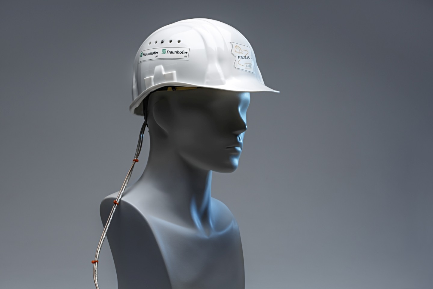
To address this challenge, scientists have turned their attention to muons, which are particles generated when cosmic rays interact with particles in the Earth’s atmosphere. Unlike radio waves, muons have the ability to penetrate water and rock without being significantly affected. As a result, researchers have explored the concept of a muon-based positioning system called MuPS (muometric position system). This innovative technology leverages the unique characteristics of muons to navigate underground and underwater environments.
“Cosmic ray muons fall equally across the Earth and always travel at the same speed regardless of what matter they traverse, penetrating even kilometers of rock,” says physicist Hiroyuki Tanaka of the University of Tokyo in Japan
“Now, by using muons, we have developed a new kind of GPS, which we have called the muometric positioning system (muPS), which works underground, indoors, and underwater.”
This cutting-edge system possesses the potential to transform the field of disaster response, marking a significant milestone in scientific progress
In the future, MuWNS has the potential to enable navigation for underwater robots and autonomous vehicles operating underground. The team achieved a groundbreaking milestone by presenting the world’s first cosmic-ray GPS system. This innovative system has the capability to assist in future search-and-rescue operations and effectively monitor volcanic activities.
Their ongoing objective is to optimize this technology to integrate it seamlessly into smartphones, thereby advancing its accessibility and versatility.
This could prove to be a significant development for search and rescue teams during emergencies like building or mine collapses. It holds the potential to revolutionize their operations.


