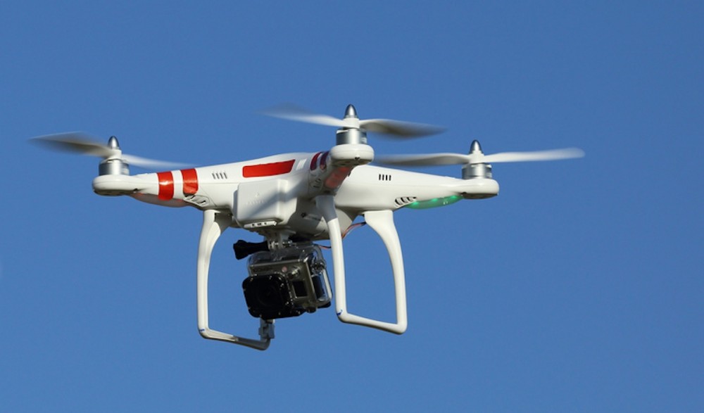
If you want to know where not to fly your drone, you could go to noflyzone.org and look it up on your computer or smartphone. But what if no-fly zones could be programmed into your drone so you hardly had to think about it?
New Hardware, Software Helping Make Drones Safer
The rise of drones in all forms has vastly complicated airspace control. Drones are now being integrated into military, commercial, and civilian activities. The only sure way to control and coordinate all of these moving parts is using the most advanced technology available today.
A number of companies have entered a new data market whose members seek to manage the potential problems that could arise between recreational drones, commercial drones, and human-piloted aircraft. The main idea is to get all of these operators on the same page with real-time information.
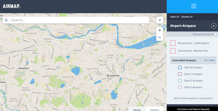
AirMap Drone Safety (Image Courtesy www.diydrones.com)
Enter AirMap Airspace, an organization helping to simplify and solve airspace issues by offering airspace information to millions of aircraft operators. AirMap Airspace provides more data on unmanned or manned aircraft than any airspace information provider in the world.
AirMap is the brainchild of Ben Marcus, an aviation expert, and Dr. Gregory McNeal, a legal scholar on air rights, public policy, and drones. The company now provides products and services for manufacturing, an SDK for developers, technology and policy recommendations for governments, and cool gadgets and software for operators.
Real-Time Data For All Flights
One of the key elements of this technology is geo-fencing which seeks to keep certain aircraft out of restricted areas including Temporary Flight Restricted Areas (TFRs).
Following is a summary of drone flight restrictions from AirMap:
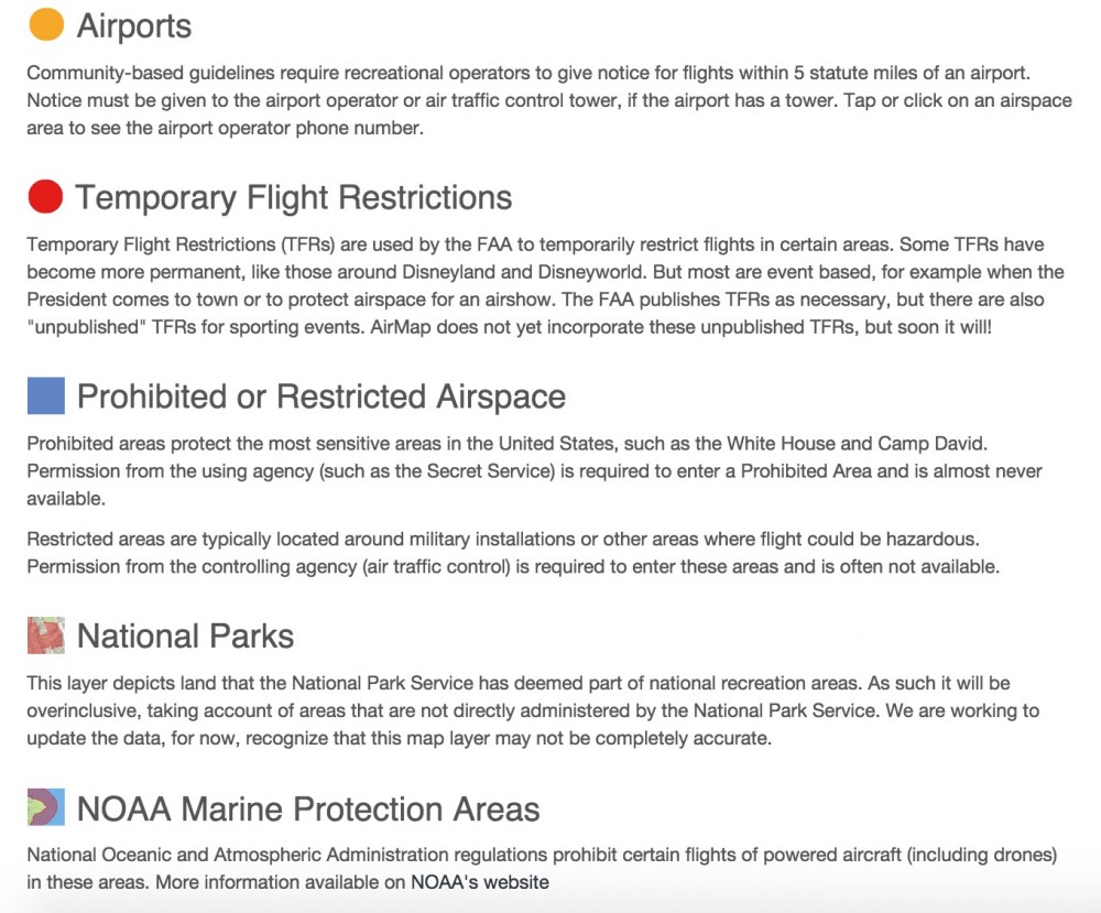
AirMap Drone Flight Restrictions (Image Courtesy www.airmap.io)
Companies including DJI and 3D Robotics are integrating real-time airspace restriction into UAV software. Other markets for this type of technology include filming companies, insurance companies, and the media.
The following video is an overview of AirMap technology. For more, see AirMap features.