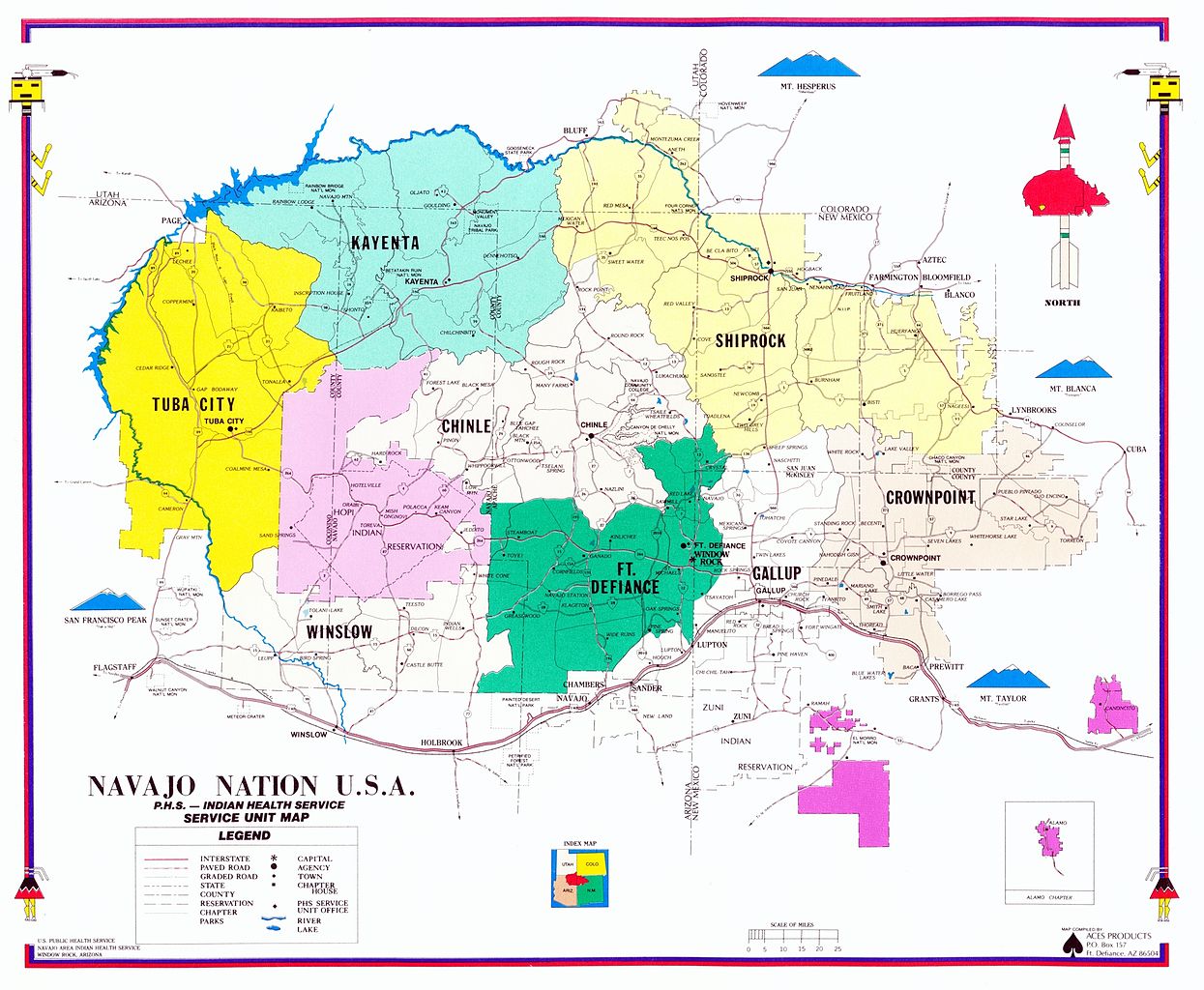
Researchers and scientists, as well as people in the public and private sectors, are finding that geographical information system (GIS) technology and software, such as ArcMap, are helping map areas of concern to public health.
For example, cartographers and GIS Information System analysts working for the San Francisco Department of Public Health use GIS technology to gather and organize information that will help achieve goals such as improving pedestrian infrastructure. Every year, GIS experts and practitioners get together at the AGILE Conference on Geographical Information Science. The group presents presentations and reports on trends in GIS and spatial-temporal perception and analysis.
The Emergence of Spatial Health Analysis
GIS technologies are now able to help measure the amount and quality of health in neighborhoods and cities by looking at cultural, political, and biophysical factors that directly influence health outcomes. For example, measuring unequal spatial distribution of clinics, fresh food markets, hospitals, public transportation, schools, and other important services can help identify vulnerable communities and spatial health inequalities.
Researchers use GIS and data analytics to measure spatial health in the following categories:
- children’s lead poisoning
- chronic diseases
- birth health outcomes
- food security and insecurity
- healthcare access
- infectious diseases
GIS experts are analyzing these areas and conducting extensive research to help produce accurate data that is illustrated using mapping techniques. Already, there have been significant advances in evaluating geographical information and influencing key elements of public health. Because of the digital nature of this information, it can be shared easily between communities, and public health practitioners can share insights on critical topics such as disease control, environmental health, determining health needs, formulating plans and policies, and much more.
The following video, “GIS Executive Forum 2016 – GIS for Public Health Services,” explains why health is so spatial.


